
Japan seeks change to new UN world map over Russia ‘misconception’
The new ‘true-scale’ map shrinks Europe and North America while enlarging Africa – and depicts the disputed Kuril islands as ruled by Moscow
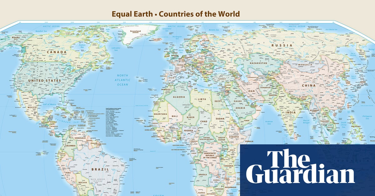
Japan has asked for the revision of a new world map adopted by the UN because it said it made the disputed Kuril islands appear to belong to Russia.
The UN general assembly voted on Friday to adopt the new map, which makes the African continent larger while also shrinking North America and Europe, drawing condemnation from the US.
UN votes to adopt new world map that shows Africa’s true scaleRead more
Japan was among the 164 UN members that supported the resolution, but has now taken issue with it because it shows the Kurils, known in Japan as the Northern Territories, in the same colour as Russia.
Japanese government spokesperson Minoru Kihara on Thursday said the new map – known as the Equal Earth cartographic projection – “contained a depiction contradicting the Japanese government’s position”.
“We lodged a protest with the map site’s operator through our diplomatic channel to demand the correction of this depiction,” Kihara told reporters.
He declined to say when the issue was brought to government’s attention but said Japan “needs to prevent misconceptions of our territories and geographical names from spreading”.
The disputed islands were seized in 1945 by the former Soviet Union, which then expelled the Japanese population.
Relations between Japan and Russia soured significantly last month, when Russian president, Vladimir Putin, made a surprise visit to the disputed islands for the first time.
Japan swiftly summoned Moscow’s ambassador, with the prime minister, Sanae Takaichi, saying Putin’s visit “offends the sentiments of the Japanese people”, adding that it was “absolutely unacceptable”.
She said the islands were “an inherent part of Japan’s territory, both historically and under international law”.
Moscow quickly hit back, saying it “categorically” rejects such statements, “which we consider politically inappropriate, insulting and, of course, legally unfounded”.
The UN said the new map aimed to present “a more accurate representation” of continental landmasses than was portrayed by more traditional Mercator projections.
Explore more on these topics