
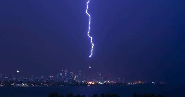
Showers and thunderstorms are moving into the Toronto area as much of southern Ontario deals with extreme heat.
Environment Canada has issued a yellow heat warning for several regions, including Niagara Falls, that indicates maximum temperatures of 30 to 32 C on Wednesday. Humidity will make it feel near 40 degrees.
The federal weather agency also said the heat event may continue into Thursday for Windsor and Essex County, but confidence is low.
Niagara will also see a 60 per cent chance of showers and a risk of a thunderstorm with wind gusts hitting 40 kilometres per hour in the afternoon. Showers with thunderstorms will begin in the evening and end after midnight.
Get daily National news
Get daily Canada news delivered to your inbox so you’ll never miss the day’s top stories.
By providing your email address, you have read and agree to Global News’ Terms and Conditions and Privacy Policy.
The precipitation is part of a system blanketing much of the region Wednesday, with Toronto in for 20 to 30 millimetres of rain in some parts by the afternoon.
Story continues below advertisement
A first wave of thunderstorms passed through the area in the morning, but a second wave in the evening is expected to bring another 15 to 25 millimetres of rain.
- Tumbler Ridge shooting survivors among 30 new plaintiffs suing OpenAI
- Ontario threatened to cut off U.S. critical minerals supply. Sudbury isn’t panicking
- Progressive Conservative MPPs say they have repaid thousands in hotel room expenses
- Canada gave contracts to Iran VP’s son while investigating role in regime missile program
-
DeGroote professor dissects intensifying Canada-U.S. trade war
-
‘Lake Ontario, actually’: Adam van Koeverden responds to Trump’s ‘Lake America’ name change
-
‘What an embarrassment’: Eby derides controversial Hegseth post about B.C. cadets
-
Eby thinks B.C. NDP candidate will beat ‘hateful, divisive’ Kerry-Lynne Findlay in byelection
The Toronto and Region Conservation Authority (TRCA) said on its website that there’s a higher potential for flooding in its river systems. It also warned that its watersheds have already gotten between eight and 55 millimetres of rain on Monday.
“The ground is saturated which will limit the ability to absorb more rainfall,” the TRCA said.
“Heavy rain from thunderstorms could cause flooding in flood plains and low-lying areas that do not drain well, especially if significant amounts of rainfall is received.”
The weather system is anticipated to pass over the region early Thursday morning, after which a mix of sun and cloud is forecast for several days in Toronto.