
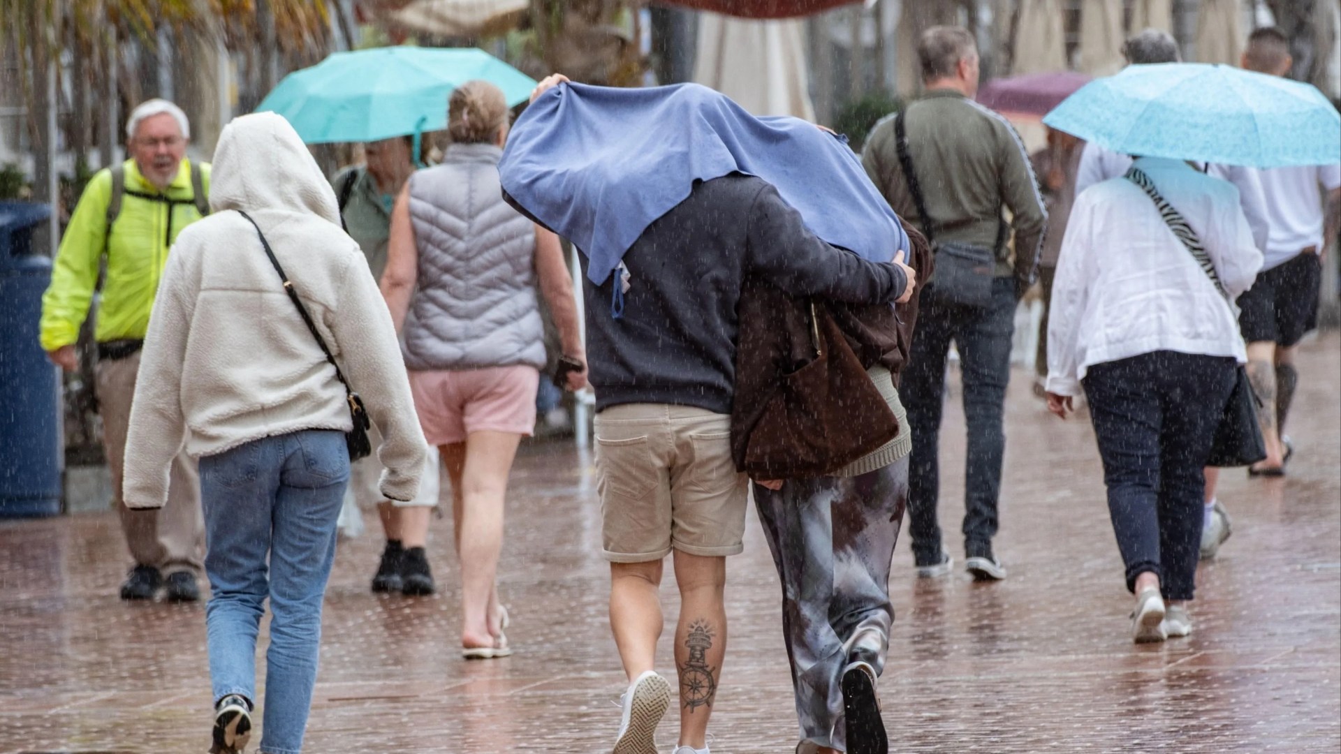
BRITS hoping for another blast of sensational summer heat may have to keep the suncream in the cupboard for now.
The latest Met Office outlook points to a much more changeable spell across the UK, with temperatures closer to the September norm.
It comes after an exceptionally hot and dry July, which contributed to drought conditions in all of Wales and almost three-quarters of England.
August remained warmer than average across the UK, and drier than average in most regions.
A fifth heatwave hit parts of England and Wales in the middle of the month, with the hottest day of the year recorded on the 13th, when the mercury reached 38.1C in Kew Gardens.
But more unsettled weather, heavy downpours and thunderstorms arrived later in August.
read more on the weather
TAPPING OUT
Hosepipe ban is LIFTED for 33,000 homes as heavy rain to hit parts of UK
FLEECE LIGHTNING
Met Office reveals new storm names for 2026-27 – including Shaun the Sheep
Is the hot weather over?
For the immediate future, the intense summer heat appears to have passed.
The Met Office says southern and central parts of the UK will be largely dry and bright today, while conditions turn more unsettled further north with wind and gales in areas.
Sunny spells will make it feel warm in southern England, with the London and South East forecast giving highs of 25C, and showers and strong winds in the north.
A band of rain is expected to sweep south across England and Wales overnight, becoming heavy in places.
Most read in The Sun
DOUBLE STABBING
Woman & man found stabbed to death as suspect in 40s arrested over ‘murder’
TAXI SERVICE
Fury as FIVE French rescue boats & 2 choppers escorts migrant dinghy to UK
FREAK ACCIDENT
My son’s arm was IMPALED on door handle during tag – I saw it inside him
CRASH HEARTBREAK
Flight instructor mum and two sons, 10 & 13, killed in horror plane crash
Tuesday will feel noticeably fresher for many once the rain clears from the southeast, while showers continue further north but winds gradually ease.
Wednesday should bring a brighter and generally drier interlude before another band of rain arrives from the west on Thursday.
Drier and brighter weather is then forecast to return on Friday, with temperatures likely to be around average for the time of year.
What is the Met Office’s long-range forecast for September?
The unsettled theme is expected to continue into the middle of the month.
For September 11 to 20, the Met Office predicts a mixture of dry intervals and spells of rain or showers moving in from the west.
Strong winds could also develop at times, while some nights may turn cooler.
There could be longer dry breaks as mid-September approaches, but forecasters say “a return of prolonged dry, settled weather looks unlikely”.
Temperatures are expected to remain close to average overall during this period.
From September 21 to October 5, the Met Office says: “High pressure initially close to the UK, with a continuation of more settled conditions at times, may eventually start to weaken its influence on the weather towards the end of September.
“As a result, it may become more changeable with a greater chance of rain or showers in places, and perhaps some strong winds at times too.
“Temperatures will likely be a little above average overall, with relatively cool nights possible at first tending to reduce in frequency later in the period.”
So while temperatures could be above average, that doesn’t amount to a heatwave.
What is a heatwave?
The Met Office defines an official heatwave as when temperatures in a certain area meet or exceed a specific threshold for three consecutive days.
Because the climate varies across the UK, these are divided by counties and regions.
- 25C: Scotland, Northern Ireland, Wales, northern England, and parts of the South West.
- 26C to 27C: Central, eastern, and southern counties.
- 28C: Greater London and surrounding Home Counties.
If temperatures reach or exceed these daily limits for three full days in a row, an official heatwave is declared for that area.
RECOMMENDED STORIES
Long-range predictions become less certain the further ahead they look, and the latest Met Office outlook does not currently signal a prolonged spell of exceptional September heat.
So while summer-like warmth could still make a comeback on individual days as we head into autumn, anyone hoping for another full-blown heatwave will have to wait and see.